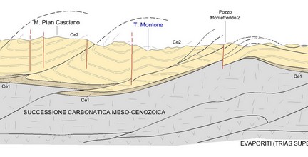
• Definition of a geological model • Identification of geological characteristics of the territory, land properties, and site conditions of use
Geotechnics
• Definition of a geotechnical model • Organisation and control of execution of investigations on earth and/or rocks' physical properties (characteristics, mechanical, and hydraulic properties)
Hydrogeology
Indagini e rilievi inerenti: Acque superficiali e Acque sotterranee
Geophysics
• Definition of a seismic model • Analysis of historical and normative seismicity
Environment
• Analysis of the geomorphological evolution of the area, definition of problems and identification of interventions • Soil erosion study, landslides, marine erosion, definition of defence and accommodation interventions
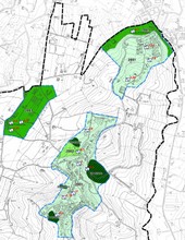
Territorial Planning
Studies, investigations, and related surveys: • Seismic microzonations • Settlement transfer
Civil Defence
Collaboration with public bodies for environmental protection and citizens' health through preventive measures and management of disasters.
Design
• Cultivation plans and extractive activity arrangements • Landslide and instability stabilisation and settlement works
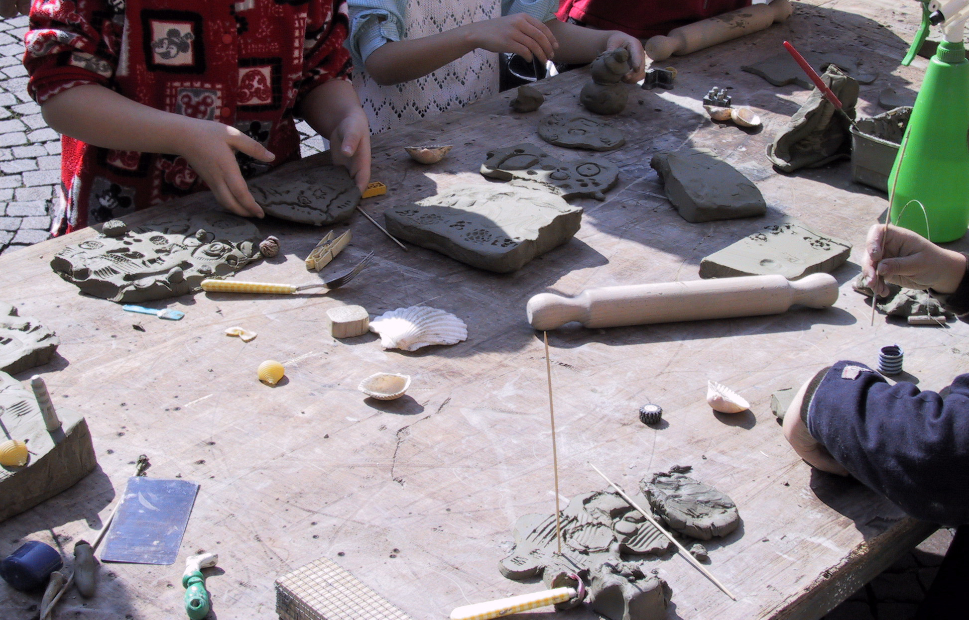
Teaching
• Creation of educational paths for primary and secondary schools relating to Earth Sciences, Paleontology, and Human Evolution • Design of exhibitions and museum exhibitions related to Earth sciences and human evolution
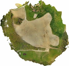
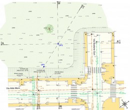
Topography
• Planning and assistance in topographic surveys to support geological studies and/or designs • Programming, assistance, and control for the realisation of returns of topographic format surveys in CAD
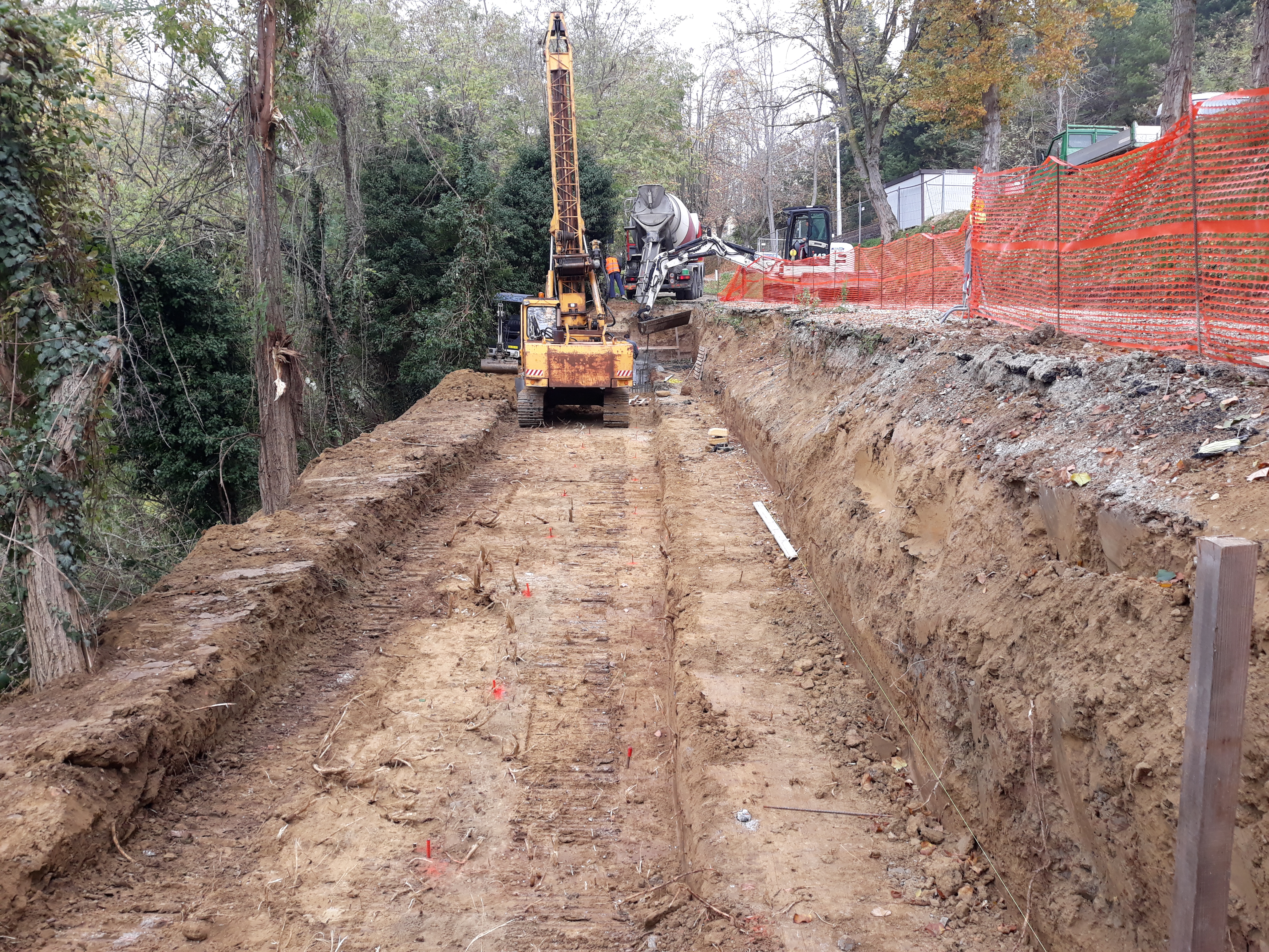
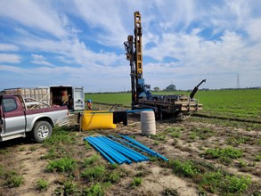
On-Site Survey
Design and assistance of the main on-site surveys
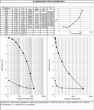
Laboratory Investigations
Analysis of solid, liquid, and gaseous samples taken on site.
Planning and assistance in topographic surveys to support geological studies and/or designs
Programming, assistance, and control for the realisation of returns of topographic format surveys in CAD
Topographic surveys are entrusted to trusted topographers.